
Frame the exact area
Search by place or coordinates, then resize the selection around the mountain, coast, city or route you actually need.
3D terrain generator from real elevation
Search anywhere, frame the exact area, generate terrain from real-world elevation, then export GLB or a checked 3MF / STL terrain solid.
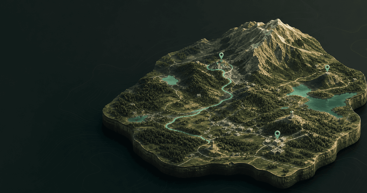
Real terrain · live scene
Go from topographic map to 3D model without tracing contour lines by hand. Keep the measured shape, then control height, base, surface, water and atmosphere in one editable scene.
Search by place or coordinates, then resize the selection around the mountain, coast, city or route you actually need.
Turn available real-world terrain data into a 3D surface, then adjust height, detail, base depth and edge treatment.
Set the physical size, repair mesh seams and face direction, then download 3MF or STL only after the watertightness gate passes.
How it works
Find a landmark, city or coordinate anywhere map imagery and elevation are available.
Zoom and resize the centered frame so the exact subject—not a nearby administrative area—fills the model.
Tune elevation strength, detail, base and surface, then add water, light, routes, pins or 3D objects.
Share an interactive browser scene, export GLB for another 3D tool, or run the dedicated print check before downloading 3MF / STL.
Topographic map to 3D model
Generate the exact area you need once, then keep working in the format that fits the job: an interactive map, an editable 3D scene, or a solid terrain mesh for printing.
Choose a real placeAdd routes, pins, labels and objects, then share a scene people can orbit in the browser.
Export the scene for editing, presentation or prototyping in tools such as Blender, Unity and Unreal.
Set the finished size, repair seams and face direction, then export only after watertight and non-manifold checks pass.
Choose any location, shape the terrain and publish an interactive scene in your browser.
Open the 3D map makerSearch for a real place, frame the exact area and generate the terrain. Make3DMap builds the editable surface from available elevation and map data, without requiring you to trace contour lines manually.
Yes. Adjust terrain height and base, choose a finished width, and run the print check. It repairs render seams and face orientation, then blocks 3MF / STL download unless the result is one watertight, manifold solid with the minimum base thickness. Always verify supports, material and printer settings in your slicer.
Yes. Export GLB to continue working with the terrain and scene in common 3D tools.
You can frame locations worldwide wherever map imagery and elevation are available.