
Make3DMap Blog · Field Notes
Read the map.
Enter the world.
Practical notes on 3D places, planets and celestial events. Each guide includes a scene you can move through instead of asking you to imagine the result from screenshots.
Practical ways into 3D.
Start with the question you need to answer. The tool belongs inside the explanation—not behind a generic call to action at the end.
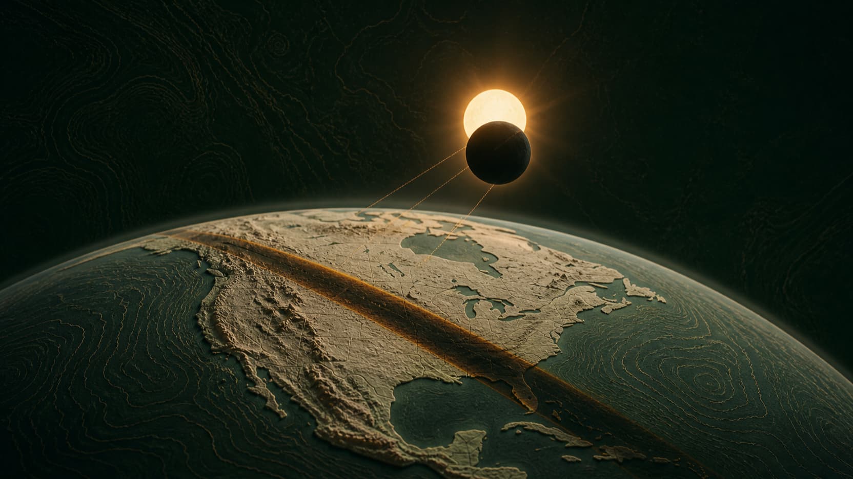
How a solar eclipse works in 3D
A flat diagram explains the order. A location-aware 3D simulation explains why one town gets darkness while the next only sees a partial eclipse.
8 minute guideProduct-backed example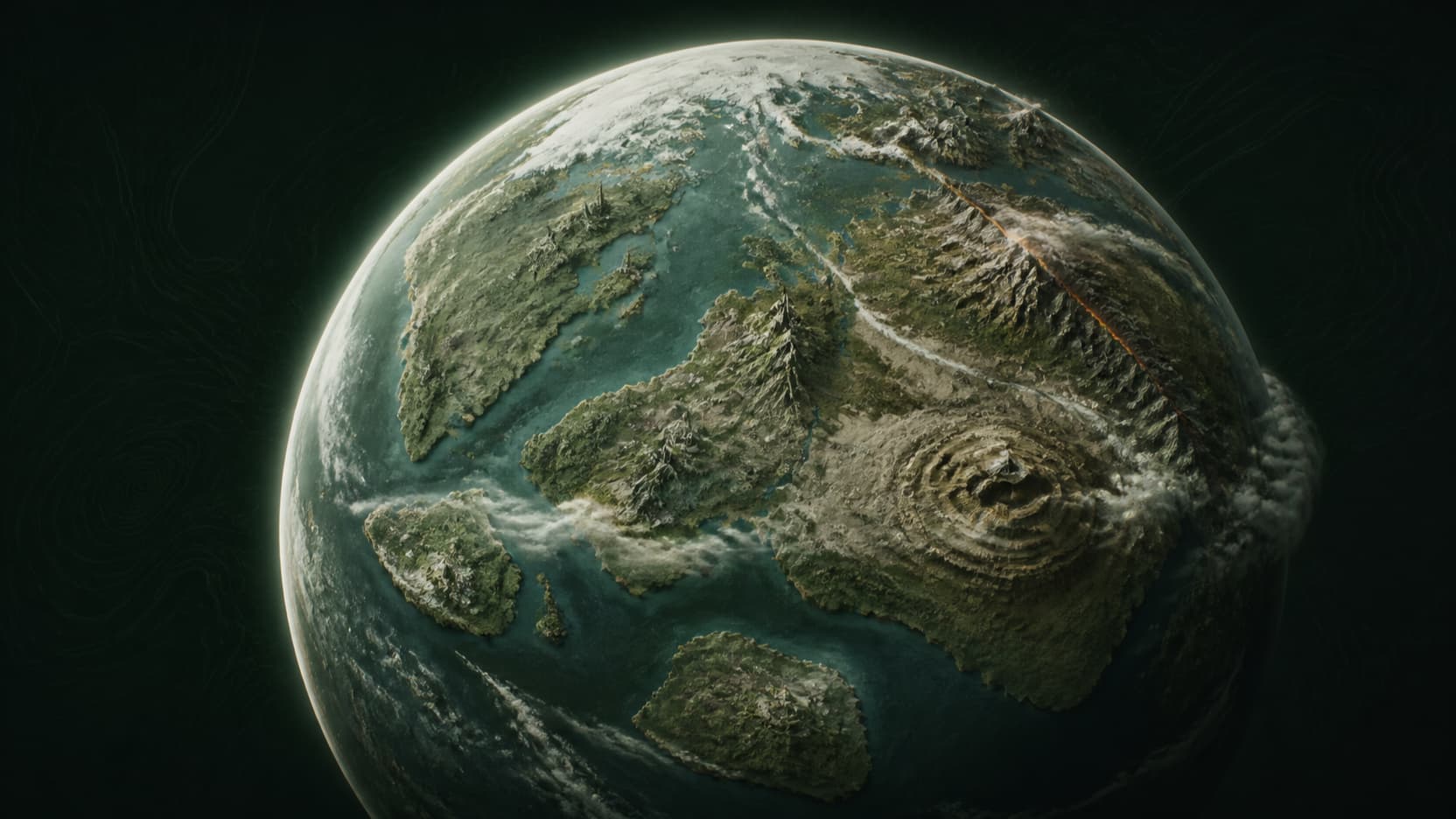
Make a 3D planet for worldbuilding
A convincing planet starts with constraints, not decoration. Give the surface a visual grammar, then add only the landmarks that make its story navigable.
10 minute guideProduct-backed example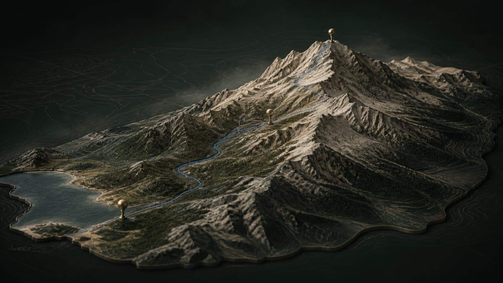
Make an interactive 3D map for a website
The best website map is not the largest one. It frames one story, gives visitors a reason to move the camera, and keeps the next action close to the scene.
9 minute guideProduct-backed example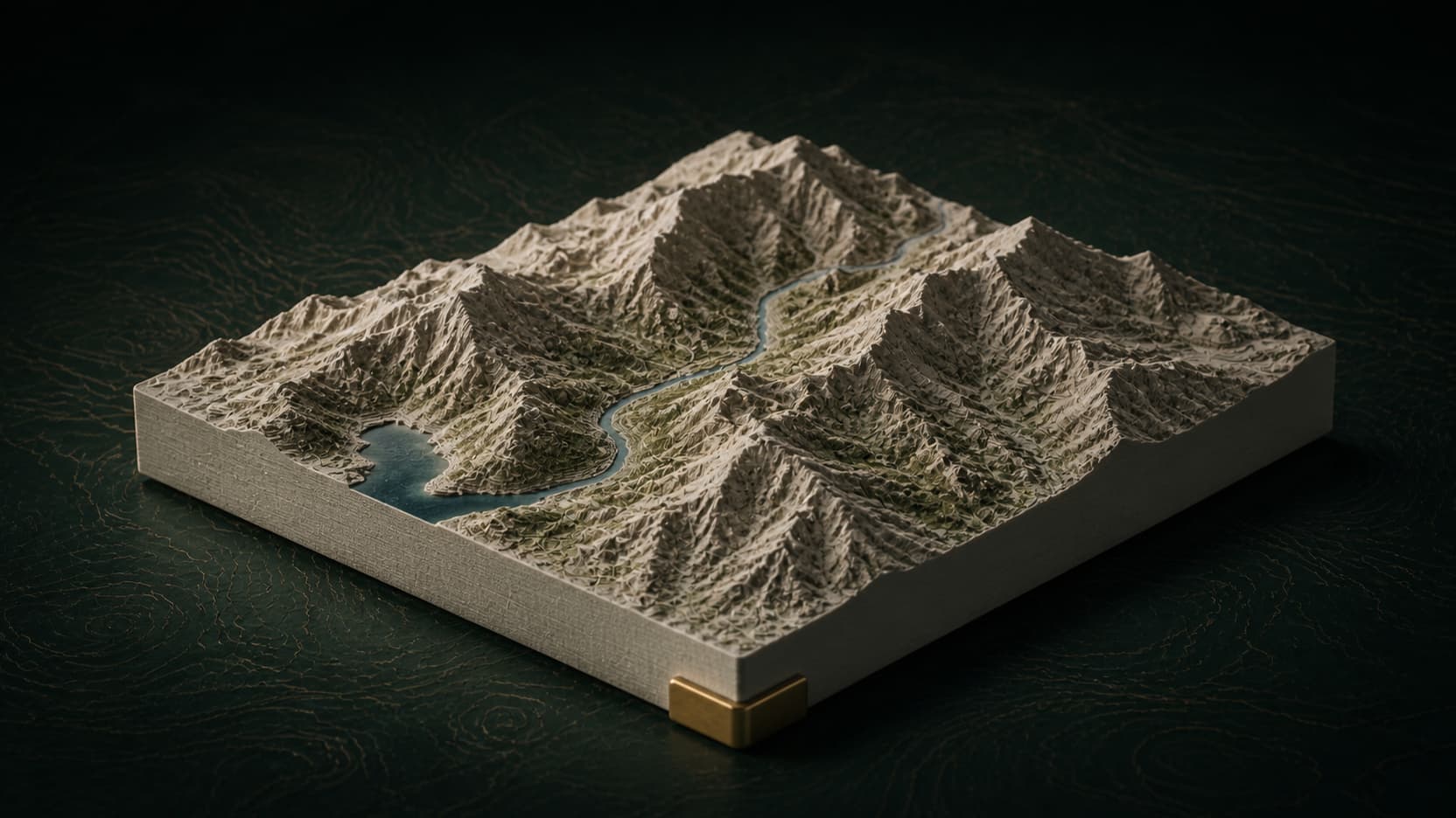
Turn a topographic map into an STL
A topographic image is not yet a printable object. The useful workflow starts with elevation, builds a closed solid, checks its physical scale, and only then hands the terrain to a slicer.
11 minute guideProduct-backed example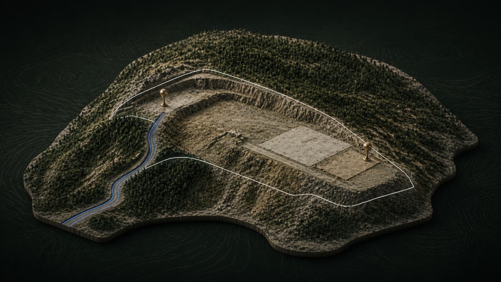
Build a 3D terrain model for site planning
A useful site model makes spatial questions visible early: where the boundary sits, how access crosses the slope, and which assumptions still require licensed survey and engineering work.
10 minute guideProduct-backed example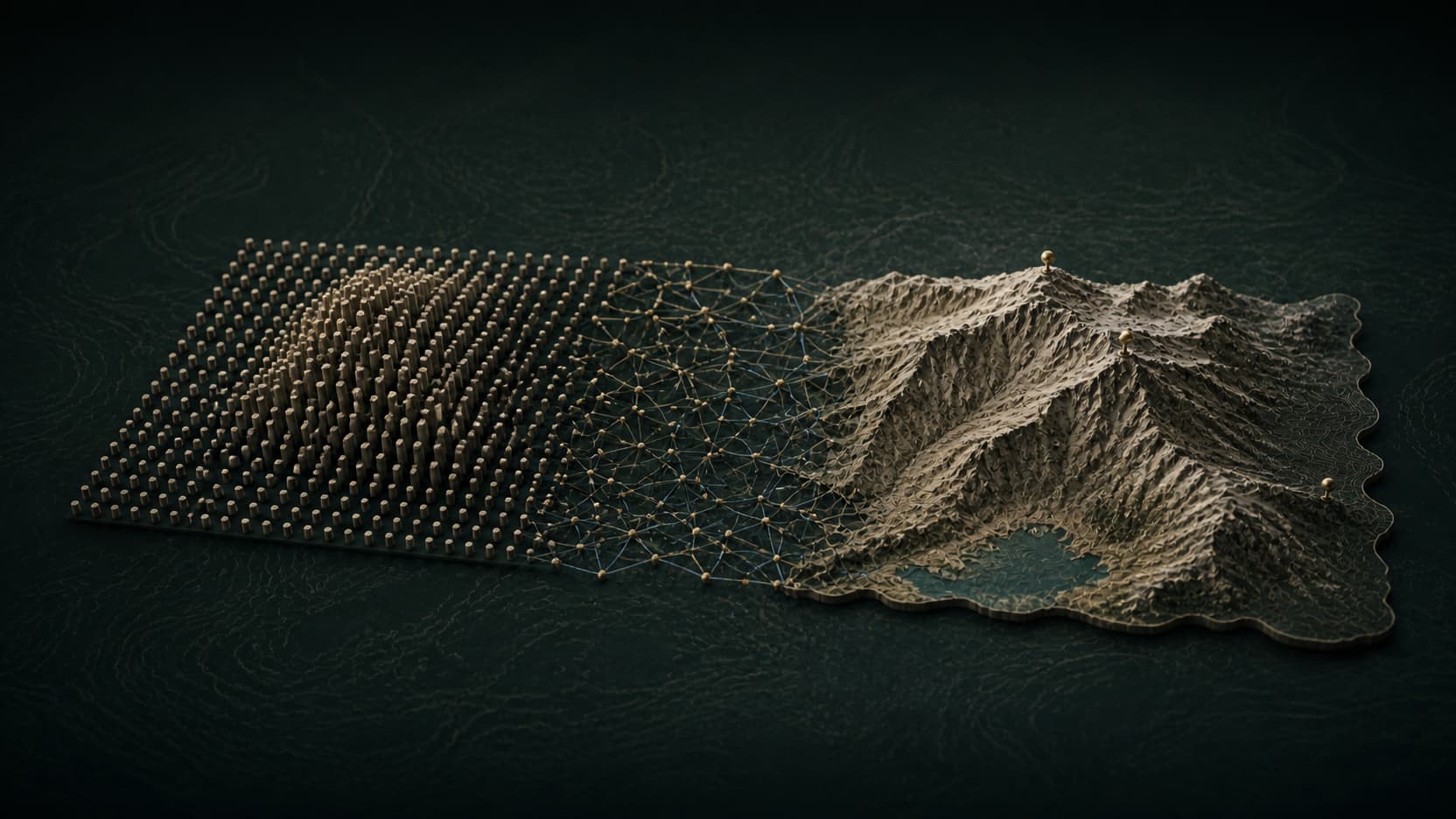
Create a 3D terrain model from elevation data
A terrain model is a chain of decisions: source elevation, crop, sampling, triangulation, vertical scale, surface treatment and final handoff. Each step can reveal—or erase—real landform.
12 minute guideProduct-backed example