Section 01
Define the job before choosing the camera
An interactive map can orient a visitor, explain a route, preserve a memory, sell a destination or present a game world. Pick one primary job. A travel article needs a different opening view from a construction overview or a fantasy campaign map.
Write the desired visitor action in plain language: follow the trail, inspect three landmarks, compare elevation, understand the neighborhood, or open the full scene. That sentence decides what belongs in the map and what should stay in the surrounding article.
Section 02
Frame the smallest real area that tells the complete story
More terrain is not automatically more useful. A huge area reduces local relief, makes labels compete and leaves important landmarks visually tiny. Select a frame that contains the entire route or place while keeping its decisive features legible.
Use the opening camera to establish context, then let visitors orbit and zoom. The first view should show the shape of the place; interaction should reveal detail rather than rescue a confusing composition.
Section 03
Add one route and a few landmarks before adding decoration
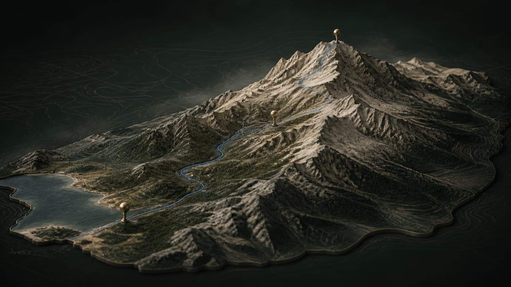
A route creates sequence. Pins and labels create meaning. A small number of 3D objects create recognition. Together they turn terrain into a story surface without forcing the visitor to learn a complex interface.
Every object should answer a question: Where do I begin? What should I notice? Where does the route change? What makes this place distinct? If an object cannot answer one, it may belong in a later detail pass.
- Use a route for movement or chronology.
- Use pins for facts that need a precise location.
- Use 3D landmarks for silhouette and recognition.
- Use labels sparingly so the terrain remains the visual anchor.
Section 04
Embed the scene where the reader already has context
Do not send every visitor away to a separate viewer. Place the interactive map immediately after the paragraph that explains why the geography matters. The reader arrives with a question and can answer it by moving the camera.
A hosted iframe is the most portable option for articles, portfolios and site builders. A small embed script provides more control when the site can mount the viewer into a custom container. In both cases, keep a normal link to the full map as an accessible and shareable fallback.
Section 05
Load progressively without turning the final scene into a thumbnail
An article should remain readable before WebGL is ready. Reserve the viewer's aspect ratio, show a representative still, and load the interactive renderer as the visitor approaches it. This prevents layout shifts and avoids spending device resources on a scene no one reaches.
Progressive loading is a timing strategy, not permission to reduce the final experience. Once ready, the visible map should keep its reviewed terrain, textures, lighting, models and normal display resolution.
Also provide a clear viewer title, keyboard-visible controls, reduced-motion behavior and a direct link for devices that cannot run the 3D scene.
Section 06
Measure exploration and the next action separately
A map view is not the same as a successful story. Track whether visitors interact with the scene, open the full map, follow the intended route or continue to the page's next step. Those events answer different product questions.
The useful conversion is contextual. A travel reader might open an itinerary. A game designer might remix the world. A site owner might copy the embed. Keep that action adjacent to the experience instead of replacing it with a generic promotional button.
Quick reference
Frequently asked questions
Can I embed a 3D map in an article?
Yes. Publish the map, then use its hosted iframe or embed script in a container with a defined height or aspect ratio.
Will an interactive 3D map slow down my website?
It can if loaded immediately. Reserve space with a still preview and initialize the renderer only when the visitor approaches the map, while keeping final visual quality intact.
What should appear on a website 3D map?
Include the terrain, route, landmarks and labels required for one visitor task. Leave editor controls and unrelated decoration out of the embedded view.